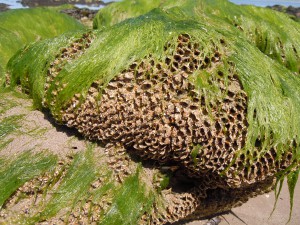
For developments in marine and coastal environments, biotope mapping allows a detailed description of the existing environment. A biotope is described as a habitat with its associated species assemblage and a detailed field survey allows the various biotopes present in an area to be identified and mapped. The mapping of biotopes provides a visual depiction of the natural environment following a standard scheme and allows for the prediction of impacts related to any proposed developments.
The Joint Nature Conservation Committee’s habitat classification scheme The Marine Habitat Classification for Britain & Ireland is used by BEC Consultants staff to identify biotopes for mapping. These maps can be included in Environmental Impact Statements and Appropriate Assessments to provide a visual representation of the existing or baseline environment.
