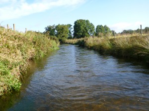
A river corridor survey describes the river channel and its riparian zone in terms of hydrological features, habitats, man-made features, etc. Such surveys are beneficial to proponents of projects that are likely to have a significant effect on a river channel, allowing the existing environment to be described, against which potential impacts can be assessed. The output of a river corridor survey is a map illustrating the various features of the river channel, such as riffles, glides, weirs, flood defences, etc.
